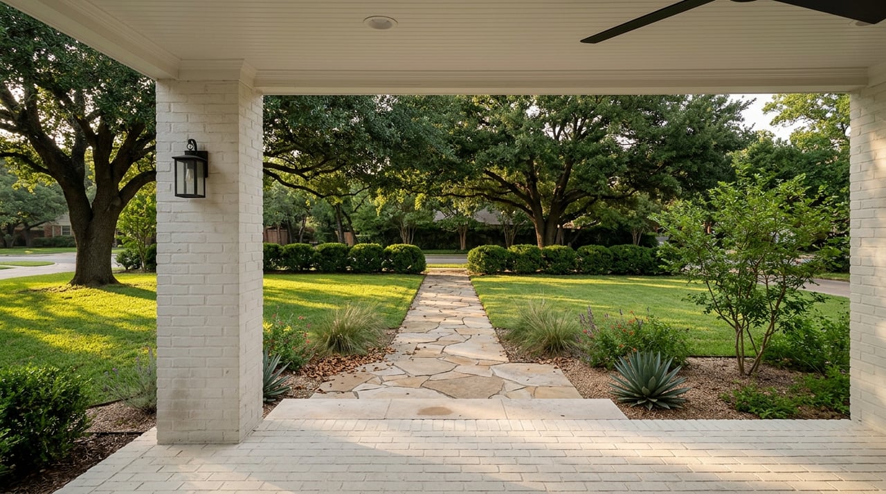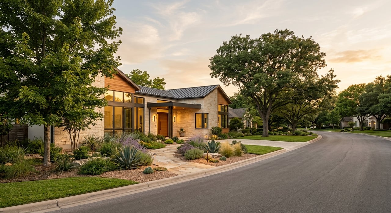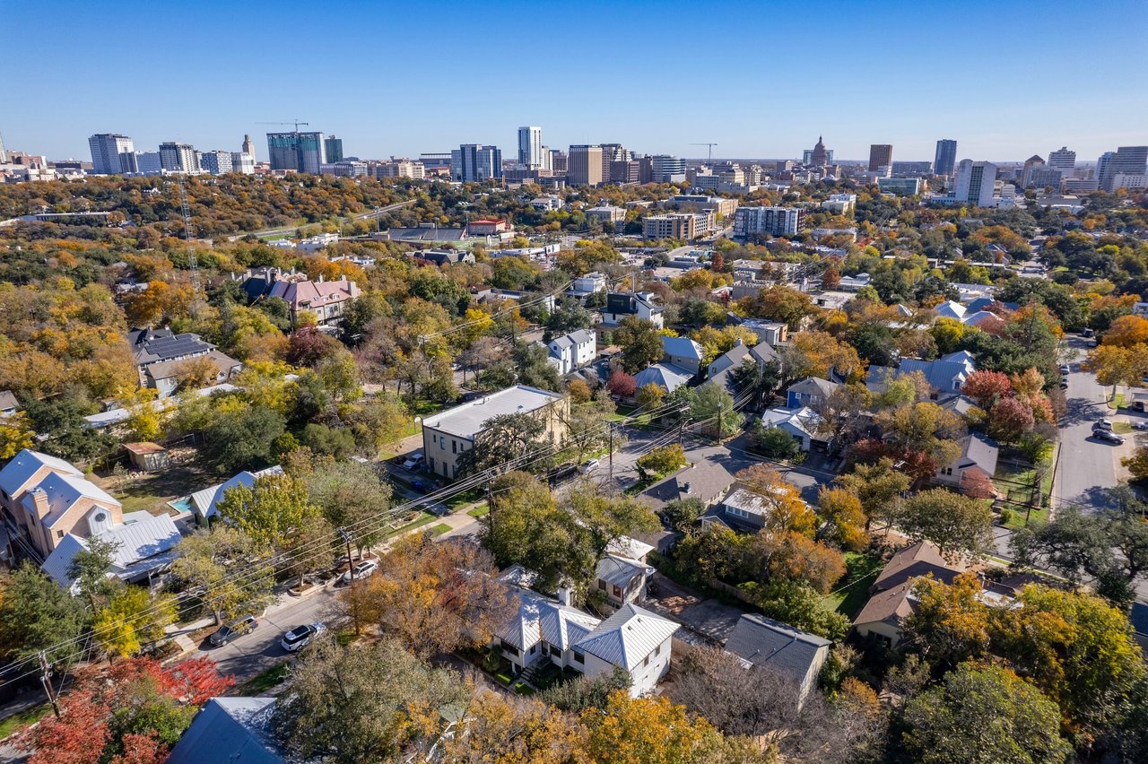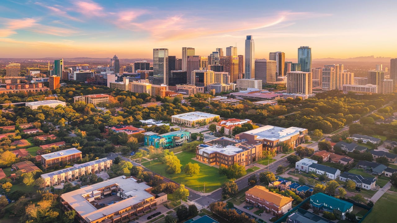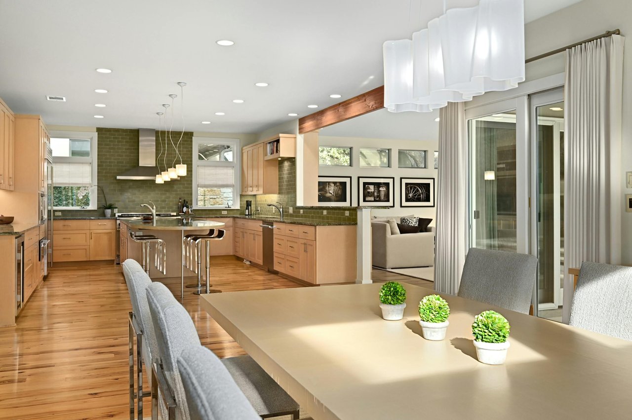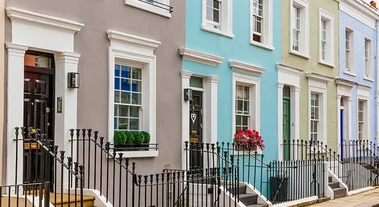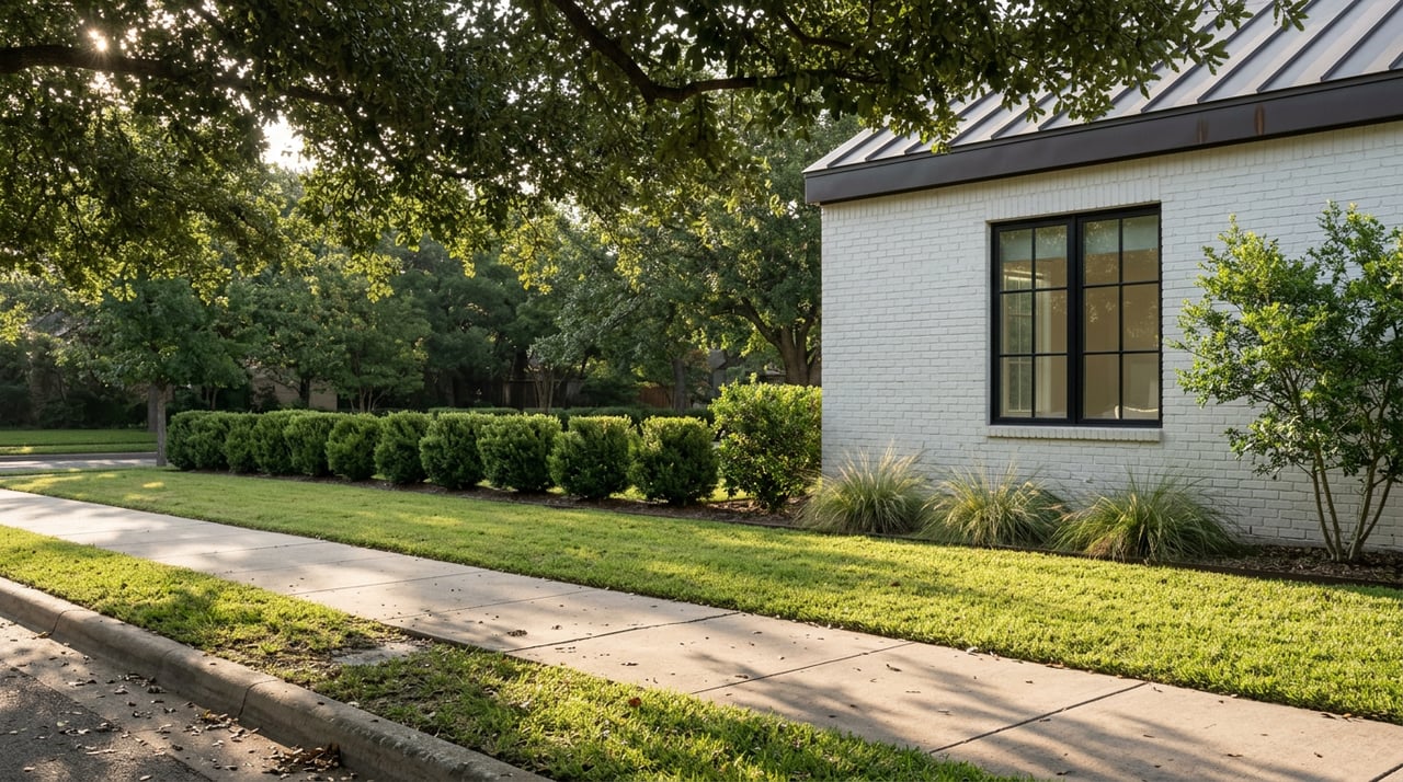
If you have lived on Wooldridge, Harris, or Wathen for more than a season, you already know the pleasures of a Pemberton Heights walk. The canopy. The tiled street-name plaques set into the curbs. The quiet turn onto Jarratt where the pecans start. What you may not know is that the hillside your loop passes above is in the middle of a five-year transformation, and the walk you take in November will not look the same as the walk you took last spring.
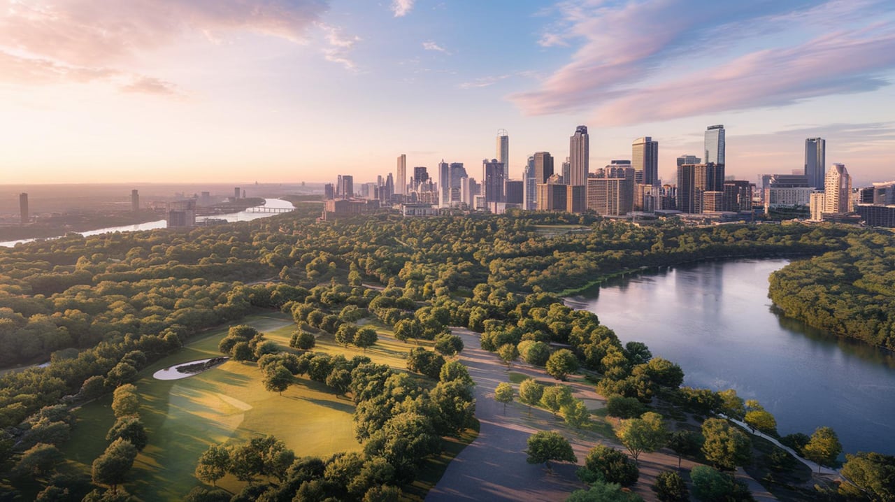
That is the small claim of this post. The neighborhood's outdoor rhythm has always been shaped by Shoal Creek and Pease Park. Right now it is also being shaped by a working restoration crew, a splash-pad calendar, and a handful of specific loop routes the Pemberton Heights Neighborhood Association has mapped for anyone who bothers to look. Put those pieces together and the daily walk becomes something closer to a running story.
The eastern edge of the neighborhood drops onto Shoal Creek, and the slope directly across the water, known as Windsor Hillside, is being rebuilt as native habitat by Pease Park Conservancy in partnership with Texas Conservation Corps crews. When the project was first proposed to the City of Austin in January 2023, more than 80% of the plants across the 226,593-square-foot area were invasive species like cat's claw, chinaberry, Japanese ligustrum, and Chinese tallow, and the slope carried a 13.7% average grade with real erosion risk. The Conservancy has budgeted at least five years for the work, and TXCC crews are contracted from spring 2024 through fall 2026 for invasive removal, replanting, seeding, and drip irrigation installation.
Translation for a resident: the view from the bridges over Shoal Creek is a live worksite, and the understory greenery you can pick out from the trail, pigeonberry, white mistflower, roughleaf dogwood, cedar elm saplings, Eve's necklace, yaupon holly, is deliberately chosen for rocky soil and steep grade. This is the difference between walking through a park and walking through a park that is being made.
Most Pemberton Heights guides mention Shoal Creek and Pease Park and stop there. The neighborhood association has actually published route distances, and the differences matter depending on how much time you have.
| Route | Distance | Notable crossings and terrain |
|---|---|---|
| Brykerwoods / Pemberton Loop | 3.03 miles | Crossings at 29th, Northwood, Jefferson, and Harris; minor rolling hills on Wooldridge |
| Shoal Creek Greenbelt Loop | 4.93 miles | Crossings at 35th and Windsor; a significant hill on Kingsbury at the back side of Pease Park |
| Pemberton Heights Path (AllTrails) | 2.0 miles out-and-back | 42 feet of elevation gain; averaging about 37 minutes per the AllTrails community |
The two-mile out-and-back is the version most residents default to. The three-mile Brykerwoods loop is the one to try when you want variety in the streetscape without adding much time. The near-five-mile greenbelt loop earns its length by dropping you into Pease Park proper for a while before climbing back out at Windsor.
One quiet note on route planning: the Windsor Road Bridge was built in 1928 and widened in 1939, and it is the seam that stitches the neighborhood back into downtown. Cross it on foot at least once with the history in mind. Pemberton Heights was one of Austin's first automobile suburbs, and those bridges are the reason the neighborhood exists in its current form.
Restoration work is easy to miss if you do not know what you are seeing. A few markers that reward attention on the greenbelt side of your walk:
If you time a walk on a weekday morning, you may see the crew working. Their leader has described the vision as staying wild rather than manicured, no beds, no borders, just the slow substitution of natives for invasives. Restoration at this scale is funded through private fundraising and grants, including a $49,000 Urban Forestry Grant awarded last year, per Pease Park Conservancy's account with the City of Austin.
The neighborhood's smallest green space is worth folding into any loop that comes near it. Hartford Park sits at the triangle where Hartford Road, Ethridge Avenue, and Jefferson Street meet. The site was undeveloped city green space until 2016, when the Pemberton Heights Neighborhood Association and the City of Austin formalized a plan for it. Roughly $350,000 in private donations paid for the fencing, playscapes, and landscaping, and the park officially opened on Mother's Day in 2018.
What that history buys you as a walker: a genuinely small park where children of neighbors you actually know are the ones on the swings. Picnic tables, two playscapes, and a planting strip along the eastern edge big enough for a quick stretch. It is the sort of stop that pairs well with a coffee walk rather than a run.
The southern anchor of Pease Park is Kingsbury Commons. If you have small kids or grandkids in from out of town, the details of the schedule are worth committing to memory.
Pease Park Conservancy runs a full events calendar on the park's own site, and the events themselves are worth watching for because they lean local and free. A recent fall calendar has included a Fall Fitness Festival on October 26 with youth and adult classes, along with programming tied to Latino Conservation Week and Hispanic Heritage Month, per Austin Journal. Volunteer plantings and invasive-removal days are the other reliable seasonal fixture, and they are the most direct way to see the Windsor Hillside project up close.
For anyone who has not walked the official park map in a while, the layout is a spine along Shoal Creek from West 15th Street up to West 31st, and the character shifts as you move north: play at Kingsbury, sports courts and open fields in the middle, quieter woodland and creek trails at the top.
No walking piece on this neighborhood is complete without Pemberton Castle at 1415 Wooldridge Drive. What began in the 1890s as a cylindrical water tower was converted into a castle in the 1920s, then served briefly in 1927 as the sales office for the new Pemberton Heights subdivision when the Austin Development Company took ownership. In 1937 it passed to Samuel Gideon, a University of Texas professor of architecture, which is where its second name, the Fisher-Gideon House, comes from.
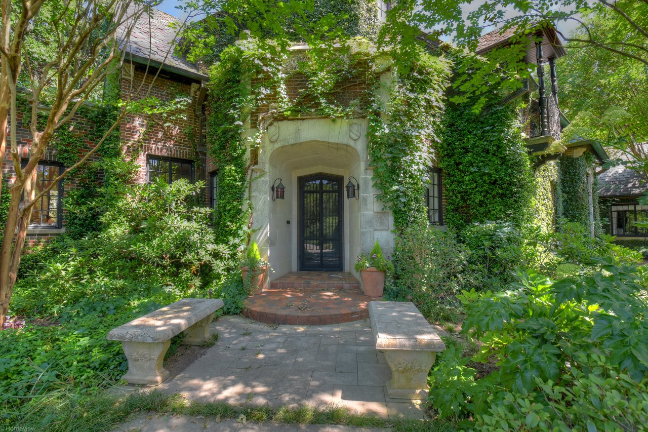
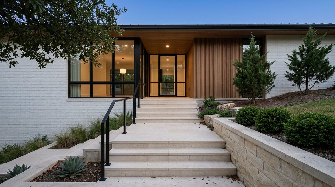
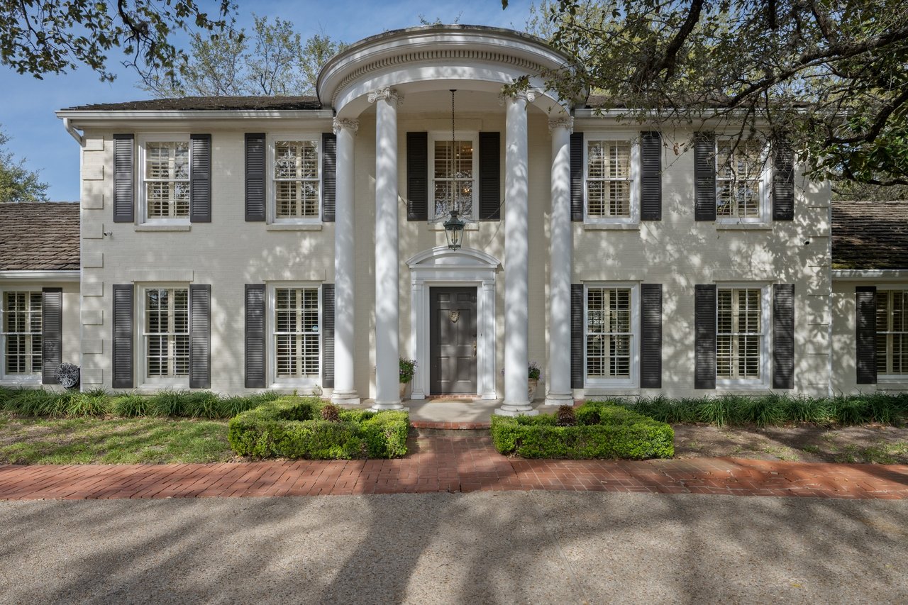
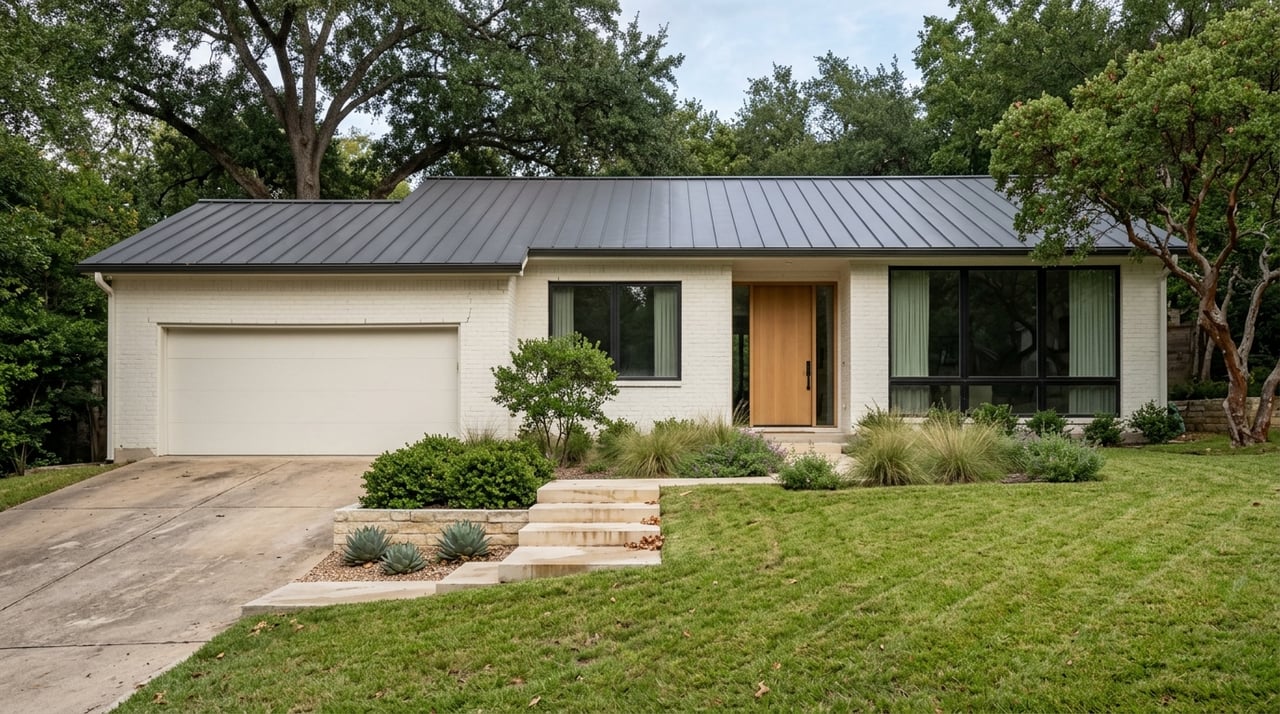
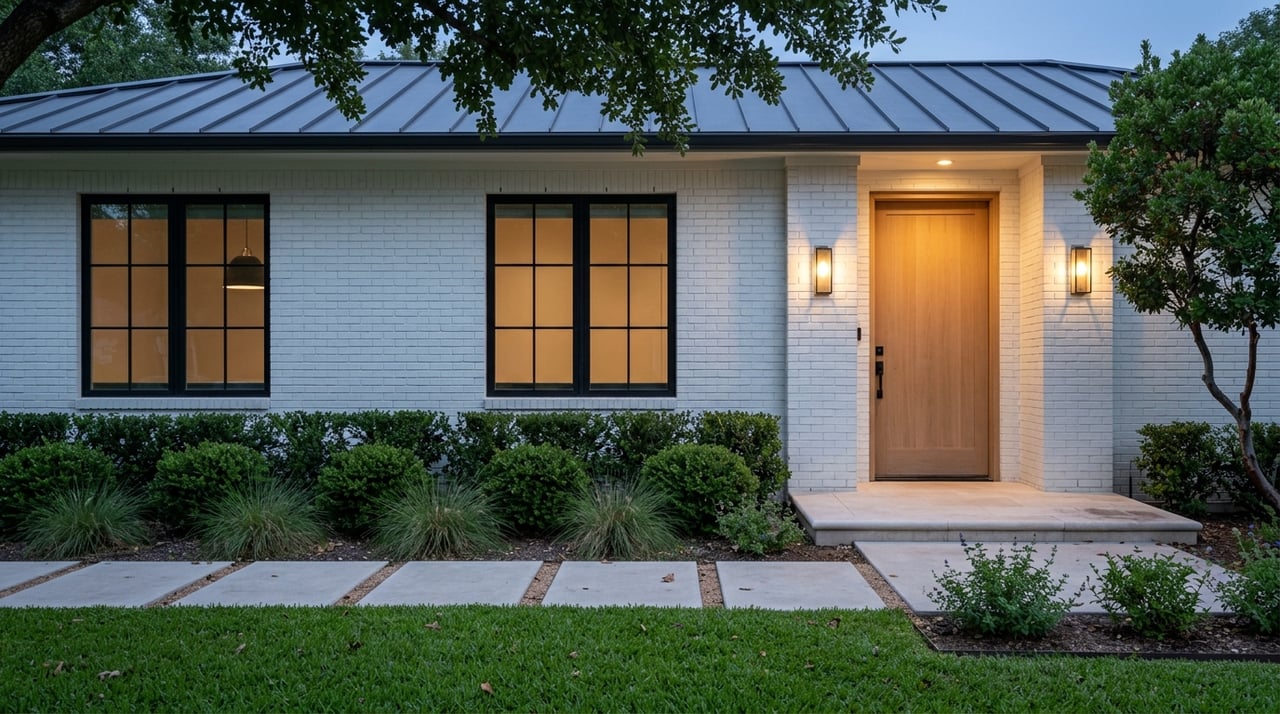
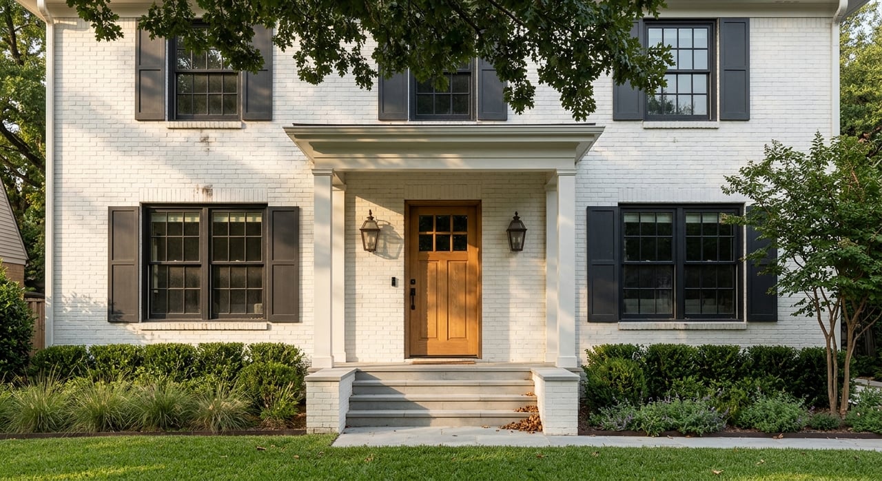
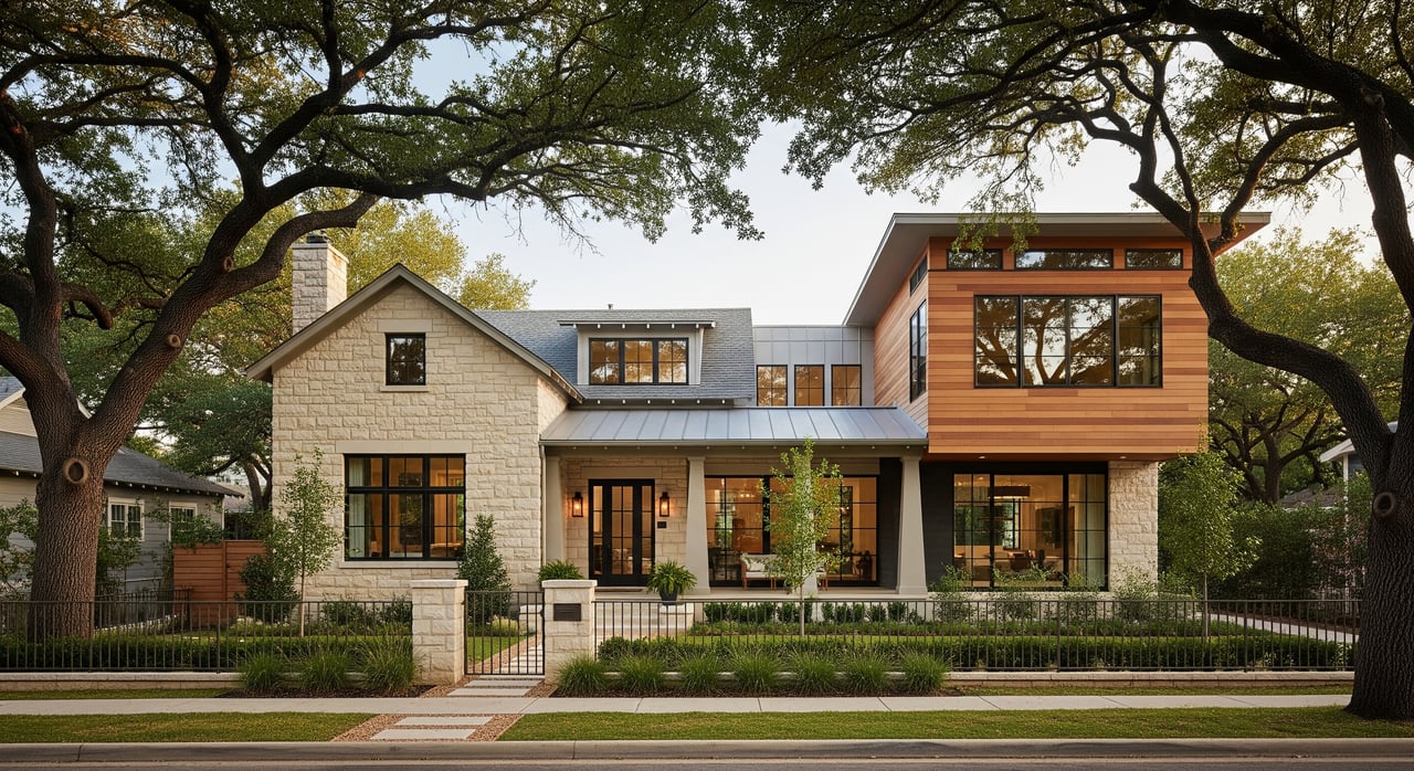
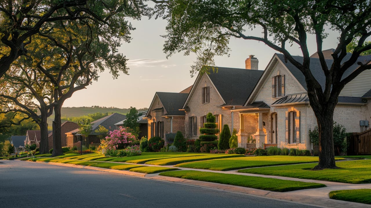
The castle is a private residence and not a stop in the tourist sense. It is a landmark, though, and a two-block detour on any Wooldridge-heavy loop earns a photograph and a small argument to make with yourself about which of the neighborhood's architectural styles you actually prefer. Tudor Revival, Colonial Revival, Classical Revival, Spanish Colonial Revival, Italian Renaissance Revival, Craftsman, and Prairie School are all represented within a few blocks, and the walk between the castle and Hartford Park is a good sampler.
A few resident habits worth keeping. Dogs on leash except in Gaston Green north of 24th Street, per the Conservancy's map. Sidewalks are inconsistent on Wooldridge and Wathen, so early morning and dusk are the kinder times for a walk against traffic. The tiled street-name plaques in the curbs are original neighborhood details; step around them rather than on them if you can.
Pemberton Heights has been called walkable for as long as anyone has written about it, and the word has always been true in a general sense. What is different in 2026 is that the walk now has a plot. A slope is being rebuilt. A park calendar is running through fall. A small triangle park is coming up on its eighth summer. The neighborhood is not static, and neither is the loop.
If you would like to talk about the block, the trees, or the house down the street that has been quietly changing hands, Anna Morrison Lee is a fourth-generation Austinite who has walked these routes for longer than most, and she is glad to compare notes. Schedule a private consultation when you are ready.
3825 Lake Austin Blvd Ste 501 Austin TX 78703
3825 Lake Austin Blvd Ste 501 Austin TX 78703